ONLINE FORMAT
| Image | 39 |
| Text | 2 |
| Folder | 1 |
ORIGINAL FORMAT
| maps |
DIVISION
| East Carolina Manuscript Collection |


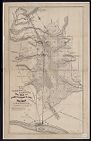
![A new and correct map of the province of North Carolina drawn from the original of Colo. Mosely's [i.e. Moseley's]](https://digital.lib.ecu.edu/encore\ncgre000\00000005\00004542\00004542.jpg)


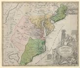

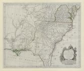

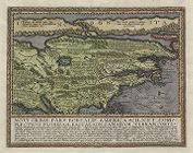
![Virginiae partis australis, et Floridae partis orientalis, interjacentiumq[ue] regionum nova descriptio](https://digital.lib.ecu.edu/encore\ncgre000\00000011\00010394\00010394.jpg)
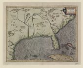
![Virginiae partis australis, et Floridae partis orientalis, interjacentiumq[ue] regionum, nova descriptio](https://digital.lib.ecu.edu/encore\ncgre000\00000011\00010393\00010393.jpg)